Industries
Architecture
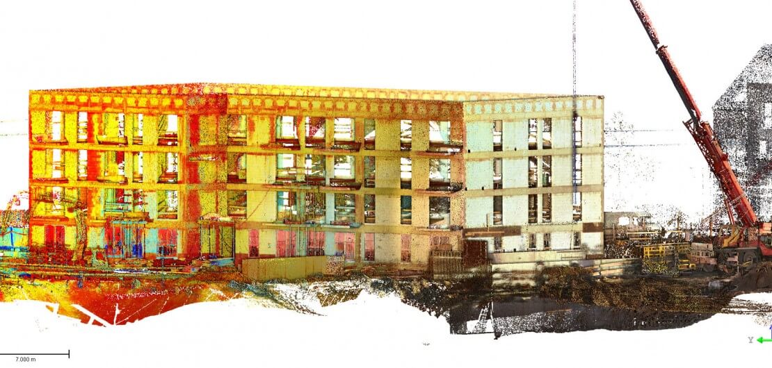
Are you an architect? We know that you have many problems and challenges to cope with every day. At architectural-construction inventories you can come across….
Heritage
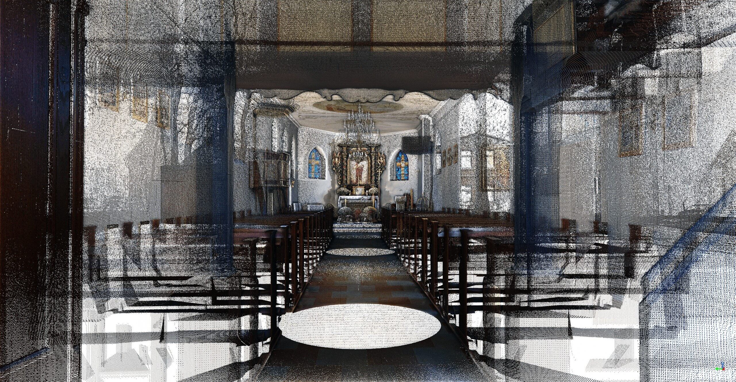
Do you manage a monumental object? You have a great responsibility to maintain the object, protect it against dangers and time elapse….
Halls and large scale objects
If you are responsible for management of the production hall or other large scale object you are to coordinate several aspects…
Material landfills / Mines
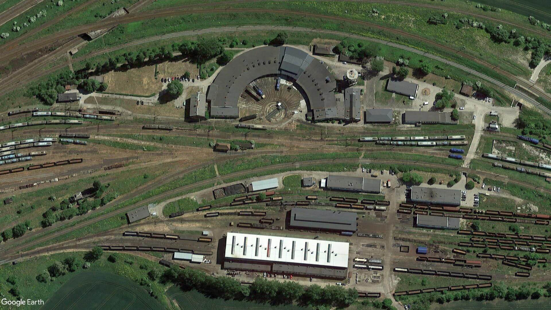
You are responsible for mining, storage, transport, embedding of loose materials? Apart from irregularity problems…
Technologies
Laser scanning
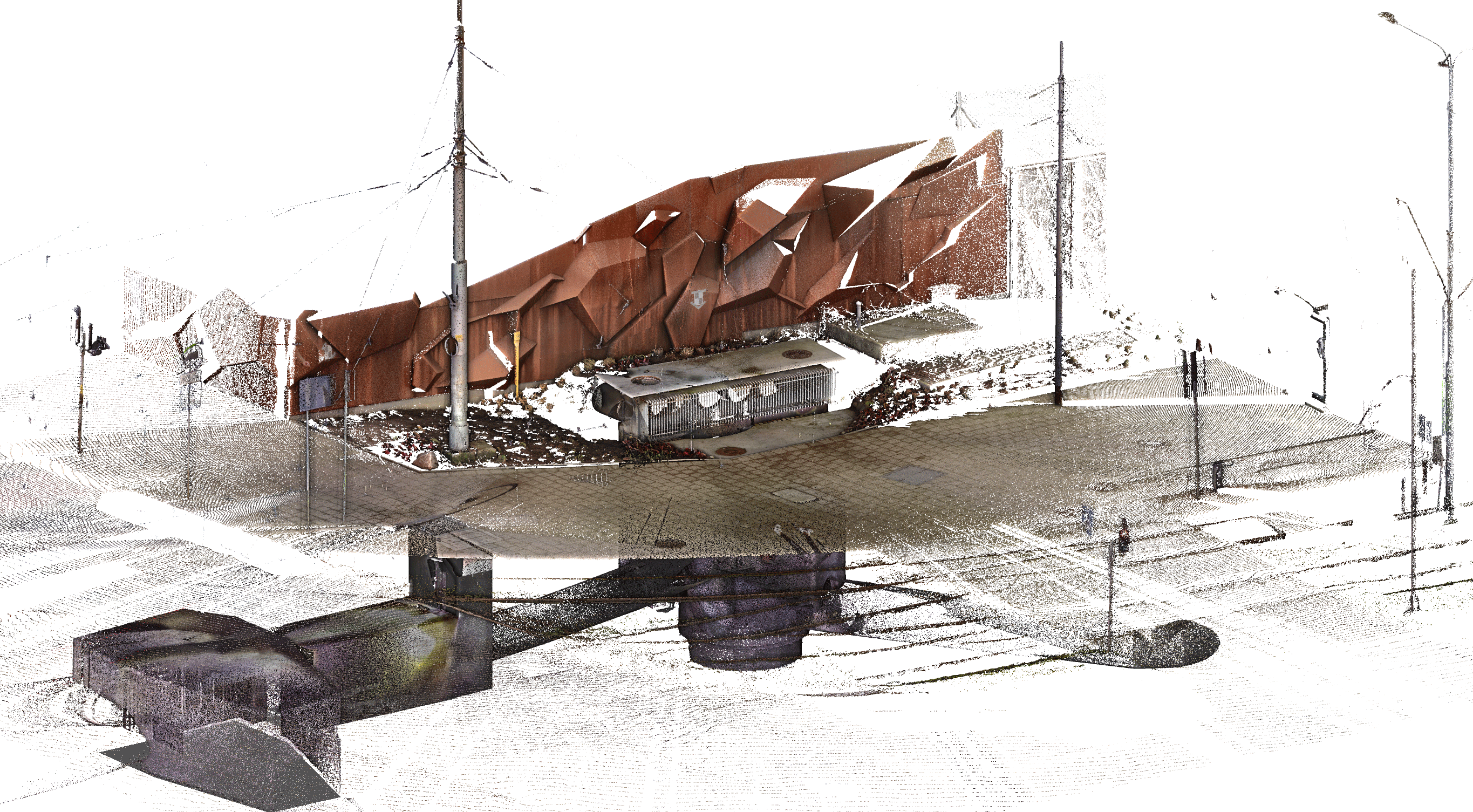
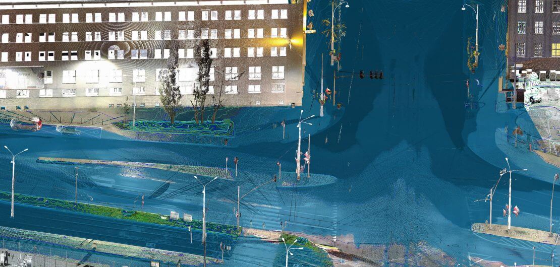
Measurement technique enabling to obtain a large number of data in short time, also from spaces of difficult access. Such laser scanning leads to elaboration of the point clouds, as the product itself or basis for other studies…
Drone surveys / Photogrammetry
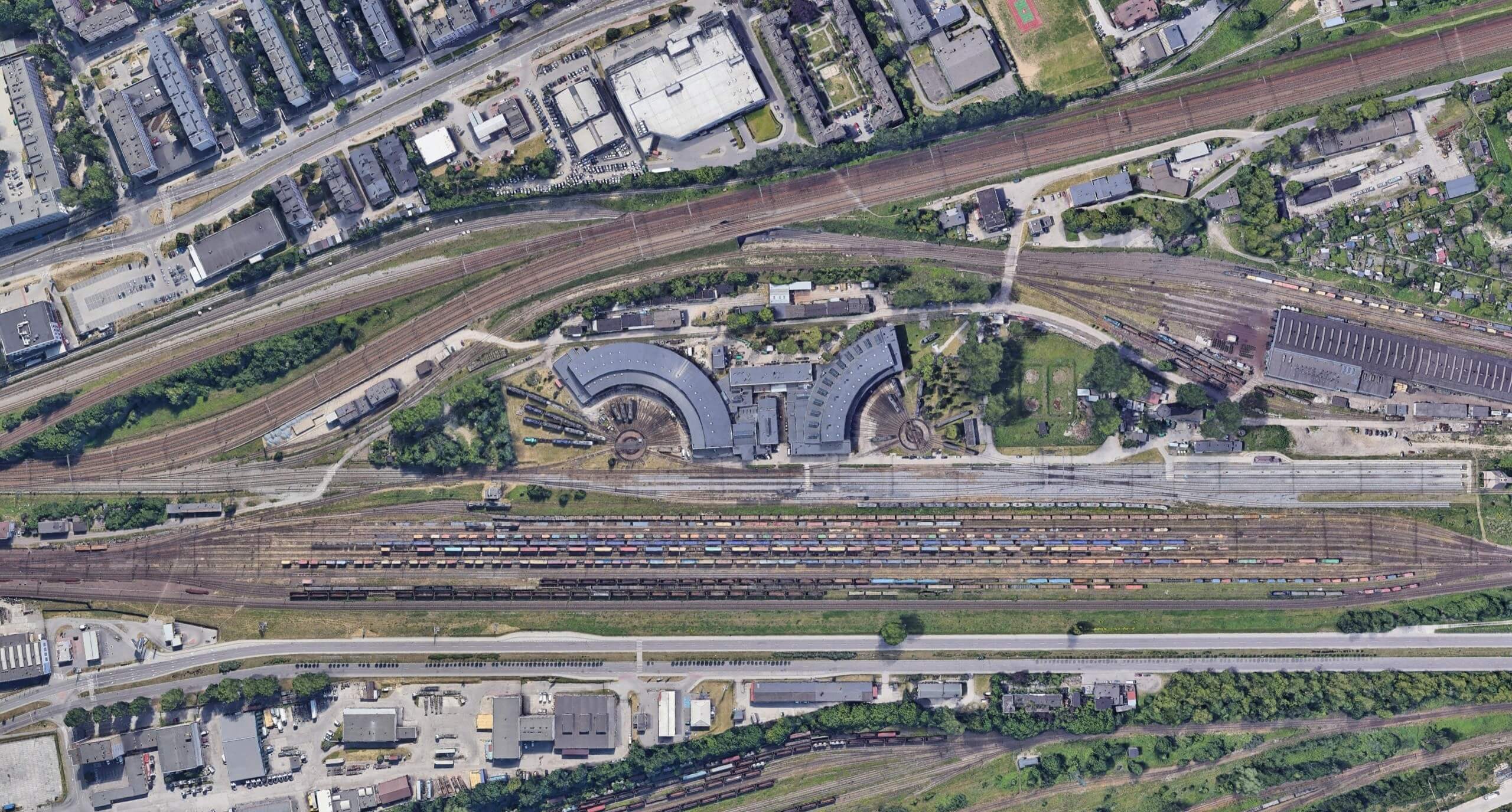
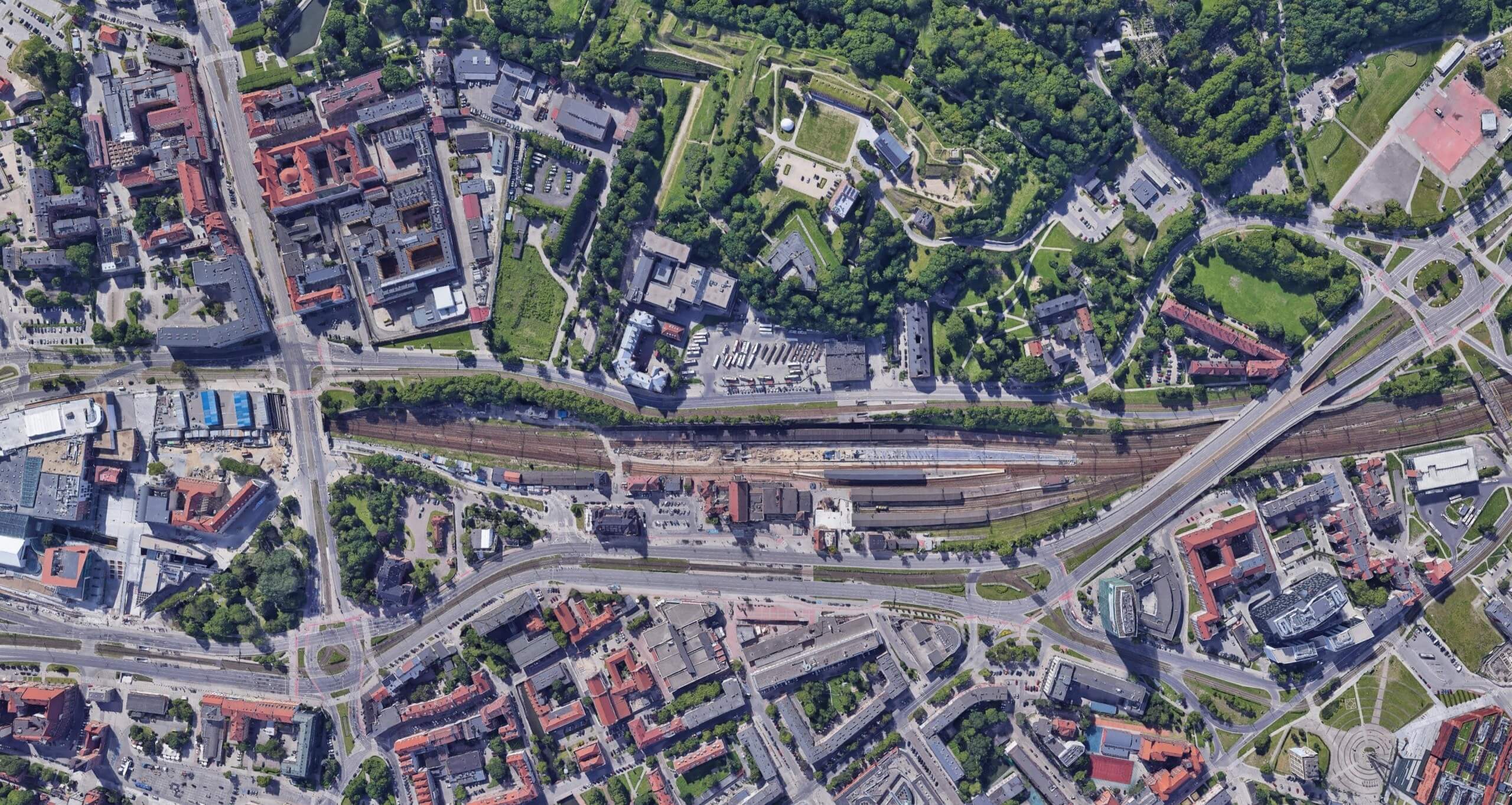
Drone flights and land photogrammetry are extremely efficient measurement techniques. They enable to achieve data from inaccessible objects. They can result in mesh, point clouds or orthophotomap…
Services
Point clouds
geoprofil.co prepares point clouds based on laser scanning or photogrammetry and transfers them in any format.
2D CAD
geoprofil.co elaborates 2D CAD documentation based on the point clouds. Floor plans, sections, facades’ views.
3D CAD
geoprofil.co converts the cloud of point to 3D CAD models.
3D Mesh
From data collected in the form of photos and scanner positions geoprofil.co generates photo-realistic 3D mesh models.
Orthophotomaps
Orthophotomaps from drone have a wide range of applications and are used everywhere where faithful reproduction of the terrain is necessary.
Mapy do celów Projektowych
Fundamentem, podstawą do opracowania projektu w inwestycjach infrastrukturalnych jest mapa do celów projektowych.
Volume calculation
100% certainty of material quantity thanks to volume measurement
Deformation / Clash detection
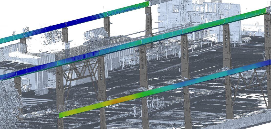
Based on the point clouds geoprofil.co generates analysis such as: planarity or verticality examination. Confronting the point clouds with other documentation geoprofil.co examines the possible collisions.
Testimonials

Company Mission
Why do we do what we do?
We believe that new technologies are to serve everybody. They are not reserved for large construction companies only! Profound changes will be made if technologies are available to everyone, small companies looking for development in particular.
How do we realize this?
Support
We know how difficult it is to start. We shall, therefore, support you at every stage of your activity. We care for you to use the value which we offer. You will not be left alone with the product. You can count on full support at technology introduction.
Guarantee of success
We believe in our Customers – if it turns you have not been capable to apply our product we shall return your money.
Ecology
Technology also means responsibility – above 90% of our exploitation material comes from recycling.
Who are we?
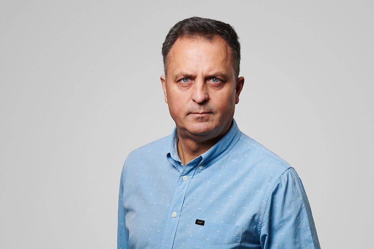
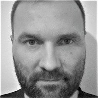
Graduate of the Geodesy Department of the Agricultural and Technical Academy in Olsztyn.
Holder of authorization to perform independent functions in geodesy with thirty years’ experience in geodesy, engineering geodesy in particular. Carries geodetic surveys of above one hundred of bridge objects large and smaller at Pomerania and not only, hundreds kilometers of roads and railways. Author of analysis referring to buildings’ and engineering objects’ displacements, wear of gantry and harbor cranes.
As the boss of the company which he successfully runs for 13 years, he values mutual trust and the friendly atmosphere at work and with business partners. He is driven with the challenges connected with new technologies where he can use his experience.
Privately: husband, father and grandfather. He plays volley ball for forty years, he skies in winter and drives old Road Star Warrior in summer. In his spare time he relaxes nurturing his garden.
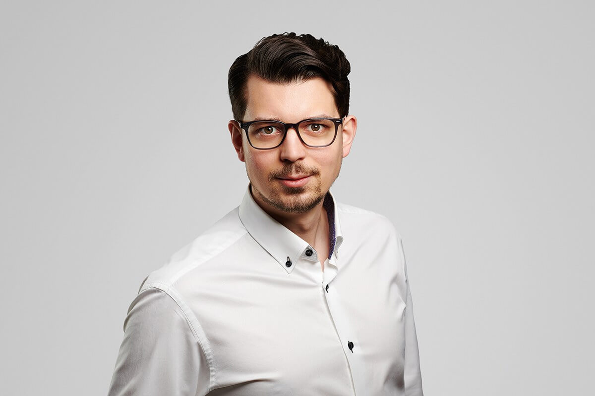
Graduate of the Warmian – Masurian University.
By supplying precise data of objects, he supports designers and construction managers in their decision making process on current basis. He is responsible for execution of several hundred kilometer maps of rails terrains for design purposes. This according to the author’s scheme with application of data obtained by drone. New technologies’ enthusiast, especially those simplifying life. Kaizen philosopher. What he most values at employees is the ability of continuous development and self perfectionism. Supporter of standardizing everything and statement that there is not process that cannot be simplified. You can catch him on perfectionism. Participant in the development program “An Increasingly Better Company”.
Father of a 4 years’ old Antonia. He pays much attention to reduce his carbon footprint. Passionate of volley ball, snowboard, photography. He likes travelling, also journeys inside himself. He loads his batteries in the company of books.
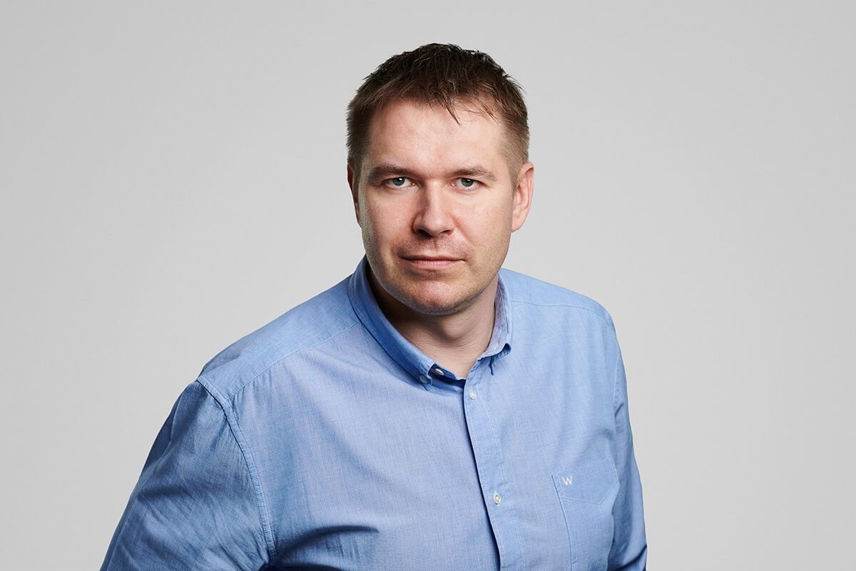
Graduate of the Faculty of Geodesy and Spatial Management at the University of Warmia and Mazury. Many years’ experience in engineering geodesy. From the beginning of his carrier connected with infra-structure projects.
Possesses incredible ability to find weak points in the projects and solve the problems which “cannot be solved”. He works according to the rule “ less talk more action”.
Our chief specialist in drone technologies and laser scanning.
Private; Father of 12 years’ old Maja, passionate of sailing, off-road tourism, diving, ASG, boxer dogs and FRIENDS serial
Our Customers





Recent Realizations
- All
- 2D CAD
- 3D MESH
- Chmura Punktów
- Fotogrametria / Ortofotomapy
- Kolizje / Deformacje
- MDCP
Our Partners
