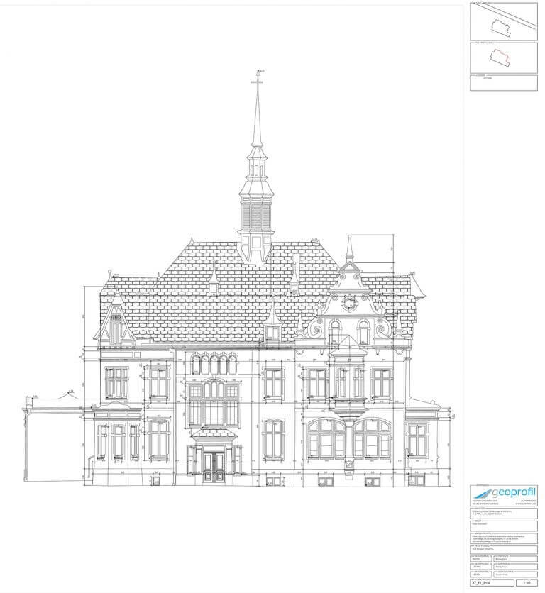
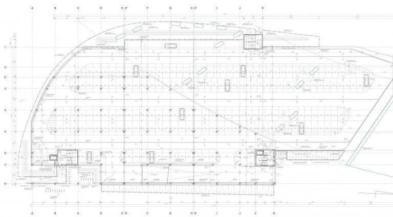
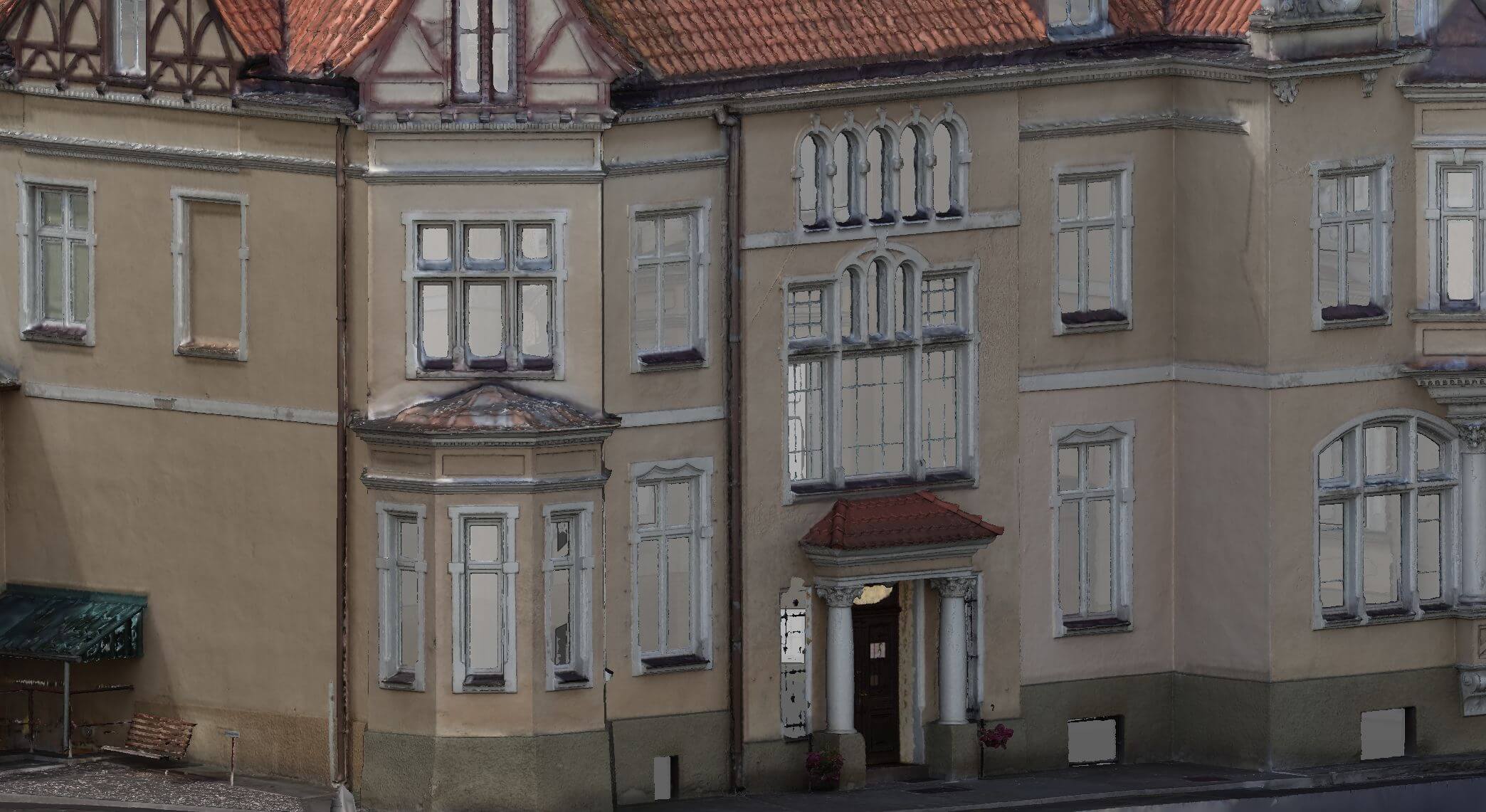
Geoprofil.co generates views of storeys and facades, sections as well as dimensioned details directly based on the point cloud acquired by geoprofil.co
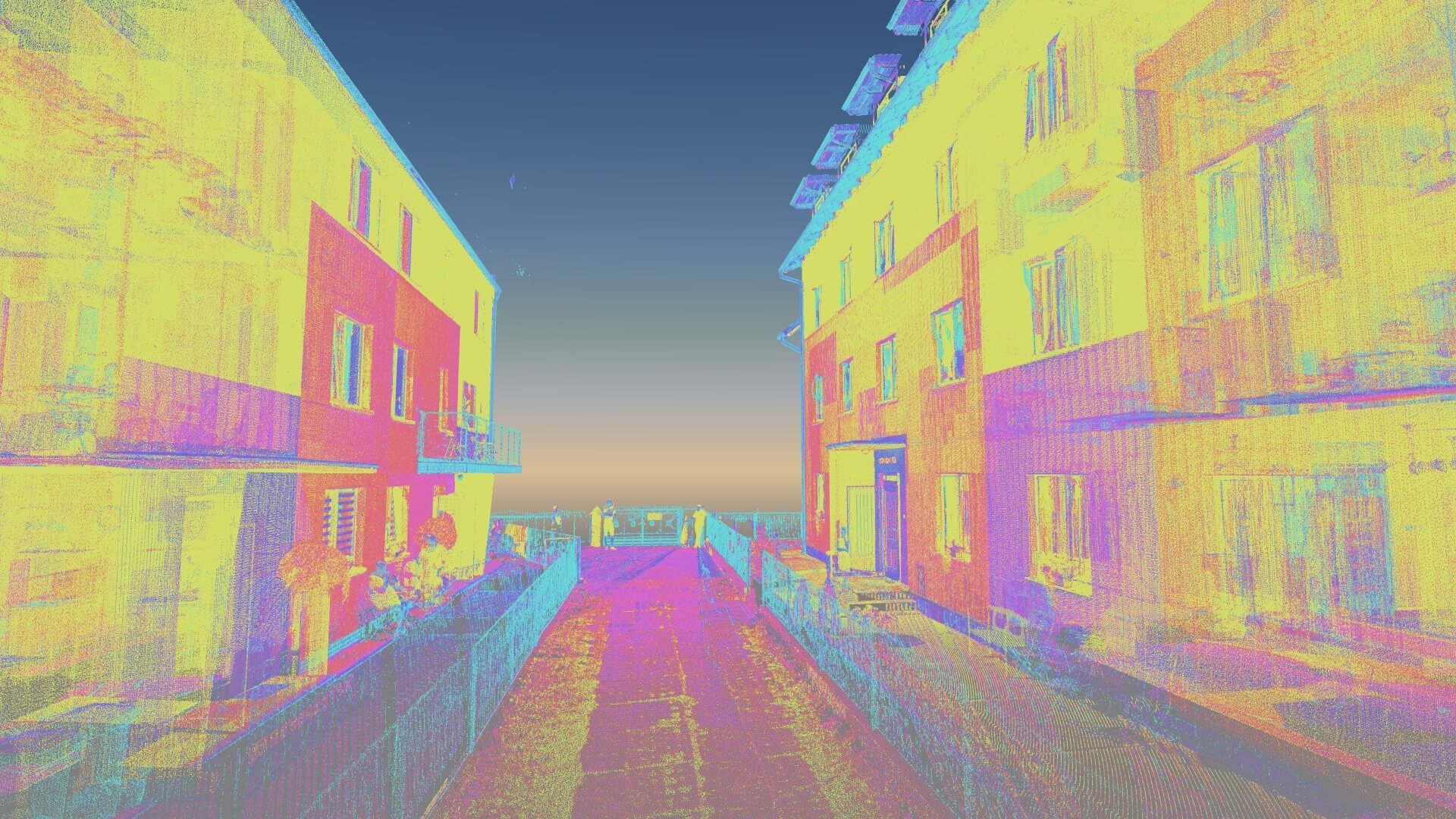
Why to use the point cloud?
As compared to the traditional methods of data acquisition (measurement tape, tachymeter, laser rangefinder) 2DCAD documentation acquired with application of point cloud is more detailed, free from personal mistakes. The problems of lack of object’s symmetry, lack of right angles, variable wall thickness also disappear. Geoprofil.co has full control of elaboration at the stage of vectorization.
What does the price and time od documentation preparation depend on?
Scope and detail of offer to be agreed at the start as time needed for vectorization process depends on object size and detail of the resulting drawings. Particular attention must be given to access/ visibility of elements which are to be the object of inventory.